MALÅ GeoDrone
MALÅ GeoDrone
The cutting-edge drone-based GPR solution for unmanned surveying
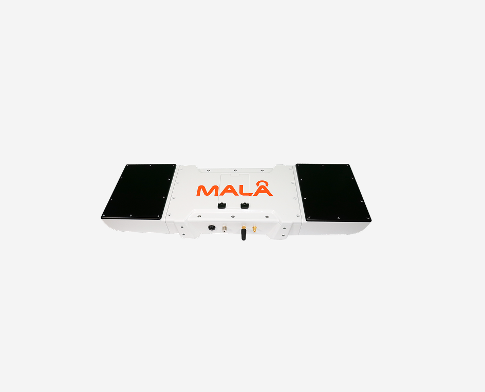
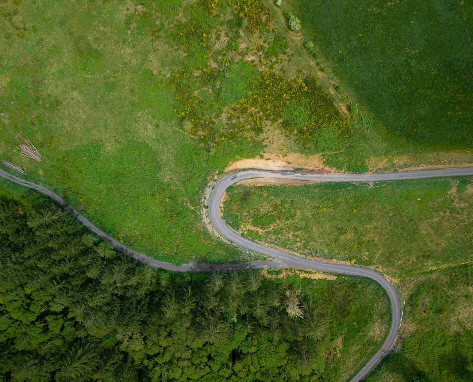
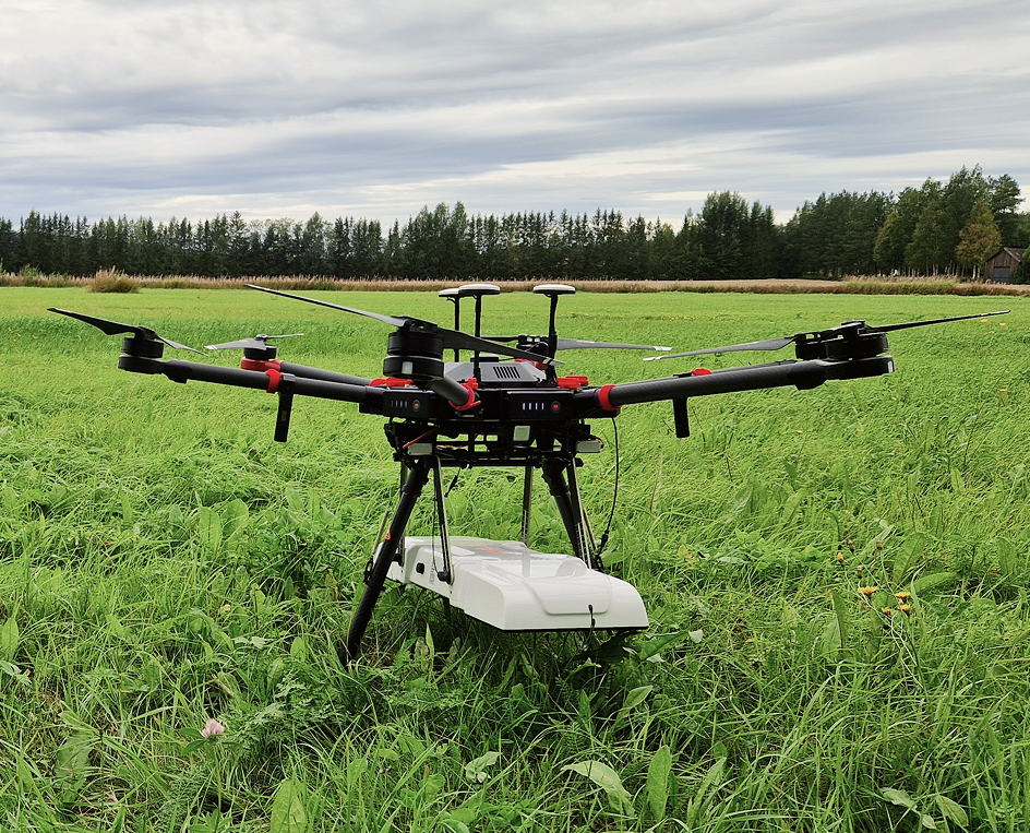
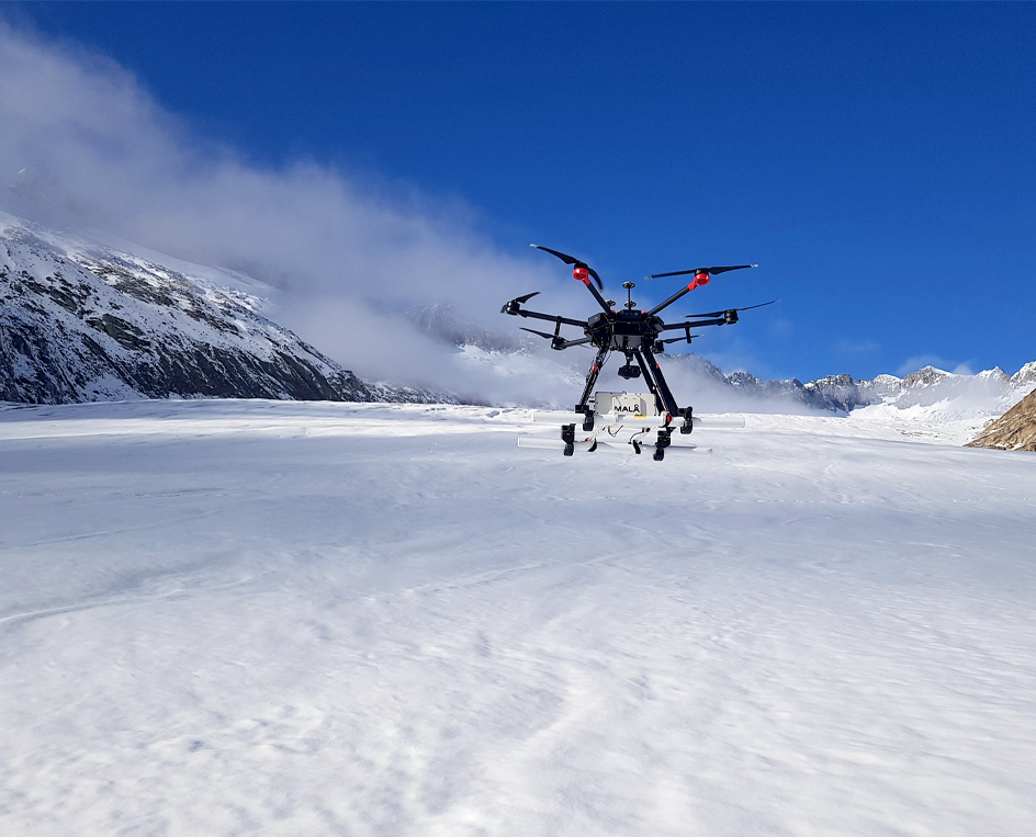
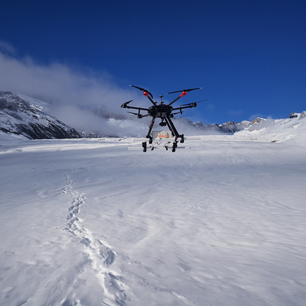
The MALÅ GeoDrone antennas are airborne GPR solutions designed for efficient fieldwork and specifically tailored for data collection in remote, hazardous, and inaccessible areas. These antennas enable the effective collection of GPR data across a variety of challenging environments, including snow-covered ground, rocky and uneven terrain, rivers, lakes, and avalanche-prone regions. The MALÅ GeoDrone utilizes the latest GPR HDR technology from Guideline Geo.
Two different antenna options
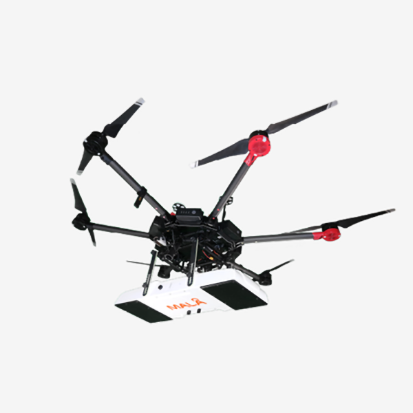
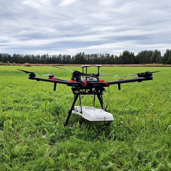
The MALÅ GeoDrone, is available with two different antenna options, the GeoDrone 600 and the GeoDrone 80. Both options offer the following features:
- Utilizes our unique MALÅ HDR GPR technology
- Supports all standard drones with adequate lift power (>2.7 kg / 5.95 lb for GD600 and >3.7 kg / 8.15 lb for GD80)
- Optimized for specific critical application areas
- Wireless real-time monitoring with MALÅ Controller App (GD600 and GD80)
- Suitable for automated drone surveying
- Both antennas now also feature the MALÅ Motion Trig acq. mode
Data processing
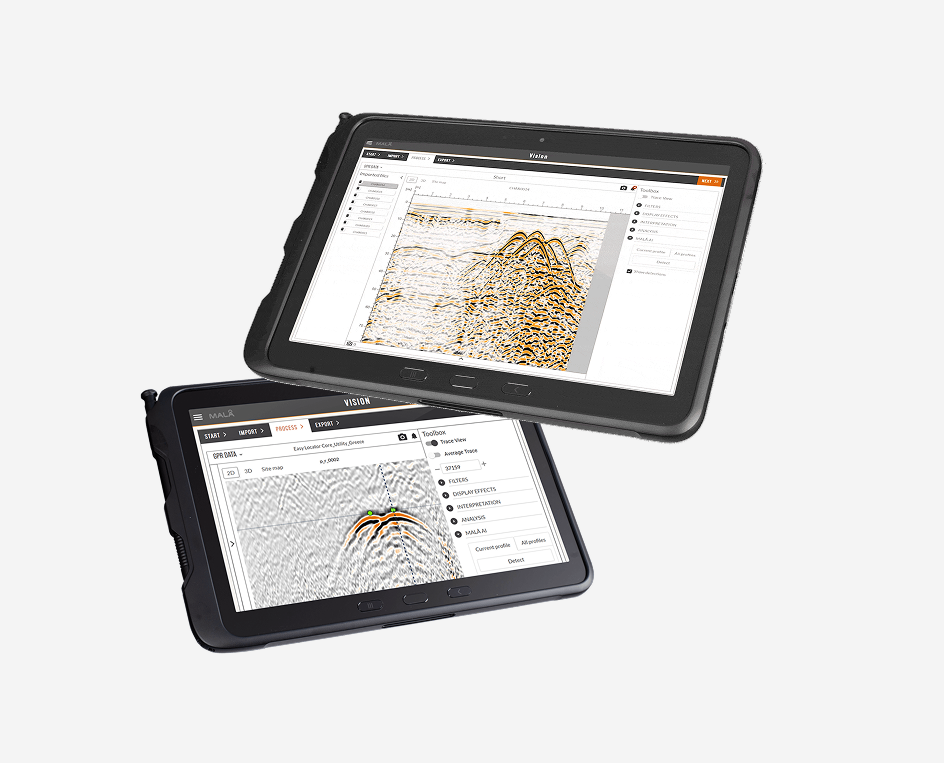
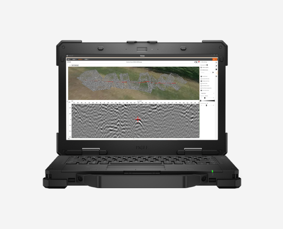
GPR data from the MALÅ GeoDrone antennas can be efficiently managed using the MALÅ Vision platform, which includes the cloud-based solution, MALÅ Vision Web, and the offline option, MALÅ Vision Desktop.
MALÅ Vision is an easy-to-use GPR processing software designed for visualization, handling, and reporting of any type of GPR data. Its intuitive and efficient workflow helps users achieve results fast.
Let’s Connect
Need assistance? Get in touch with our team.